Geocaches - 10 found. 3 TBs Dropped.
Walk Inspiration - Walks along the Thames Path
On plotting my planned walk in the Cotswolds last night, it became apparent that it was very close to a three section caching trail that I had completed in monthly stages since August this year. As delightful as this part of the world is, I did not want to be traipsing along the same paths.
So a re-think. I remembered that the Thames starts in the Cotswolds. I consulted by book of 25 Thames Paths walk. The opening comments for the first walk said "best completed after heavy rainfall".
This was a sign from the walking gods that could not be ignored.
Sonia and Ellie think they can stretch out Cirencester for three hours of shopping. In the car down, Sonia asks where I am walking today. I know that the source of the Thames does not have the same drama as the source of the Nile, but I didn't expect so much laughter.
They are dropped off in front of the beautiful church and I head off for the designated parking area.
Which is now designated as "Private". The nearby Thames Inn Pub has a sign saying "unauthorised cars will be clamped". In the end, I find a layby on the way to Ewen.
Gaiters on. Raincoat on. A bit of lane walking. The weather does need to be commented upon. We have gales and ominous black clouds but the BBC weather site has got it spot on. I get a soaking twice from above.
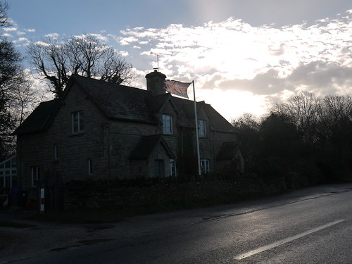 |
| Great day to own flags. And kites. |
 |
| Just need an idiot in a 4x4 to come along |
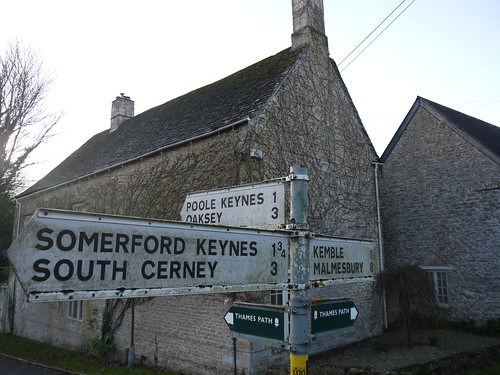 |
| I have followed these signs all the way to Erith in Kent |
 |
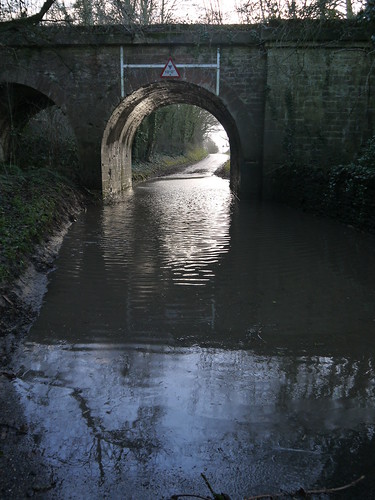
| Crystal Clear Waters |
 |
| Down at the Bank |
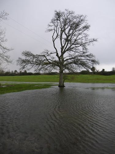 |
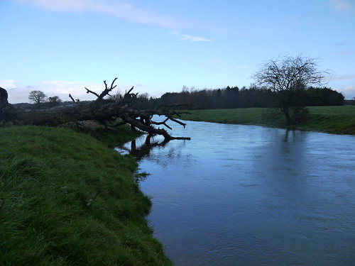
| It all starts here |
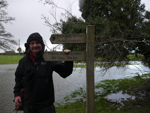 |
| London - That Way |
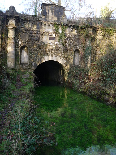
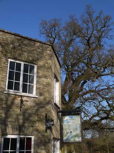
The route is a walk up and back diversion of around 2 miles to go and see Sapperton Tunnel Entrance. As there are a couple of caches, I go for it.
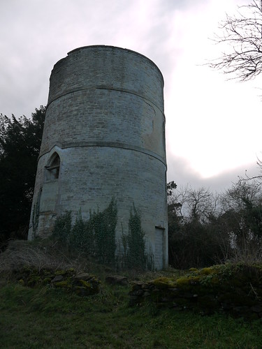
Do find a couple of unexpected oddities.
1) The Coates Round House - looks like a Church Tower.
 |
| Nearly missed it - checking out the next Cache |
 |
| More Crystal Clear Waters |
 |
| Not even a road marked on the OS Map |
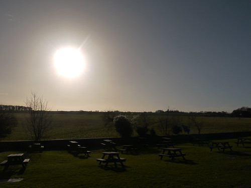 |
| The View in the beer garden |
And how was the shopping in Cirencester? Even Ellie, Queen of Shops, couldn't drag it out. They had independent stops for breakfast, a pub drink and a lunch.
And she bought something from Boots. The shop where she works.
No comments:
Post a Comment