Distance - 11 Miles
Geocaches - 15
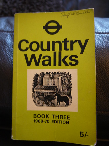
Route Inspiration - TFL Country Walks Book 3
The New Year is ushered in, the resolutions are made and the stats for #Walk1000Miles are reset to zero. This year, a new community on
facebook has been created by Country Walking Magazine. Within 10 days, it has 500 members - all upbeat, motivated and sharing inspirational walks.
Time for me to press on with the first proper walk of the year and get some serious miles under my belt.
The mission - to determine how the landscape has changed since Transport for London produced a guide to country walks in 1970.
 |
| Loving eBay |
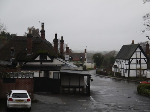
I'm off to Caterham - final stop on the train line from Victoria. At 9:50am, nearly 4 hours after setting off from Worcestershire, I am alighting at the station and getting my bearings. A small town centre with one obvious pub, duly noted for the post walk refreshments.
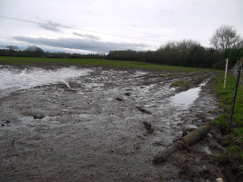
A short climb past the police station and I am into the rolling countryside of the Surrey Hills. This walk will be remembered for two things 1) the frequent ups and downs and 2) the clay and flint soil making for very slippy going after this consistent rain.
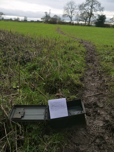
My guide has a map and I am interested to see how much of it remains. The Caterham bypass is the first thing that has been added and after I get the insect infested geocache nearby, I cross it to pick up a farm track to
Tillingdown Farm.
What an odd place. There is a gate that has a very stern signt announcing it is "Private Property". The OS Map (as well as my guide) shows it as a meeting point for a number of public footpaths. Feeling brave and having the law on my side, I get through the gate and sure enough, on the other side is an arm laden fingerpost showing me several routes available.
I take the one that goes through the farmyard. I don't think I have ever seen such a collection of ramshackle buildings. They are not totally destitute but very tumbledown, with several windows missing glass and the usual ruins of ancient farm machinery and discarded horse boxes.
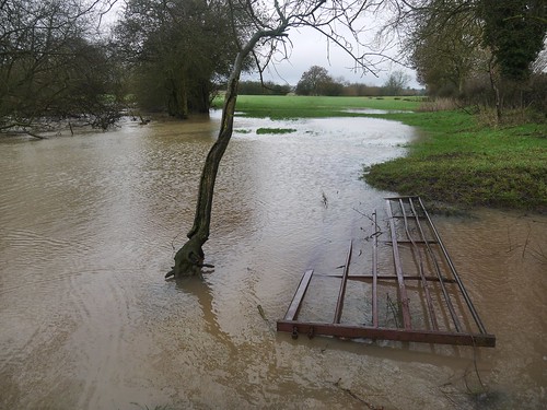
I would have taken photos but I very much had the feeling I was being watched, even if no-one was obviously present. With memories of a million cheesy horror films, I made my way through as quickly as possible to the vista that is World's End.
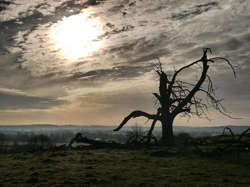
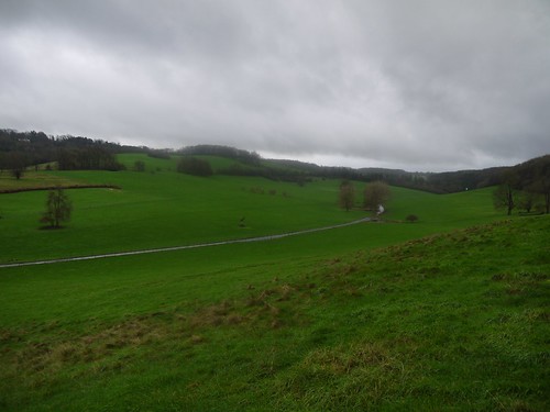 |
| World's End - After the sinister farmhouse of Tillingdown Farm |
The photo sums up the weather today. Several short sharp showers that are never quite heavy enough to make me want to change from soft to hard shell but ultimately left me soaked through. Rather looking forward to the end of El Nino.
After taking my life in my own hands and mastering the descent down the world's slipperiest path, I pick up a track that is also a private road to Woldingham School. Judging by the traffic, they go to school on Saturday's in these parts.
It also has a decent Geocache trail along it, which takes my mind off the showers. At
GC5D384, I am muggled by a lady dog walker who after asking if I am Geocaching, replies that "She is quite geeky too".
Slines New Road takes me on a tour of Woldingham Golf Club and more ups and downs on the walking. Fine scenery - if you ignore the golfers' attire.
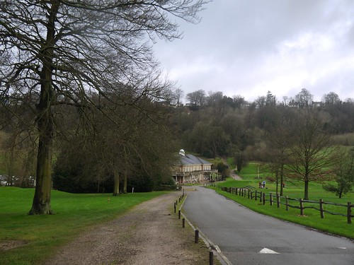 |
| Woldingham Golf Course 19th Hole |
After a circuit of the Golf Couse, I walk along Butler's Dene Road. Another oddity - the houses and their grounds are massive and must cost a fortune in leafy Surrey, yet many of them are ramshackle and in need of some serious TLC.
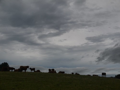
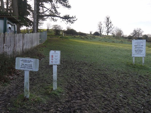
This takes me to the Vanguards Way and I am back in the Countryside (read mud) enjoying my first encounter with the Surrey Livestock.
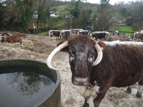 |
| Natives of Surrey |
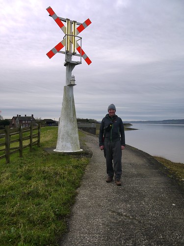
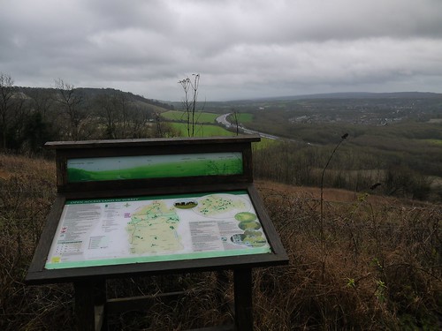
As I approach Flint House, the next change to my guide makes its presence known. I cannot see it yet, but I can hear the constant drone of the M25 sometime before arriving. It finally reveals itself, as I crest the 868ft hill of Oxted Downs, picking up the North Downs Way.
 |
| M25 - Nestling in the Valley |
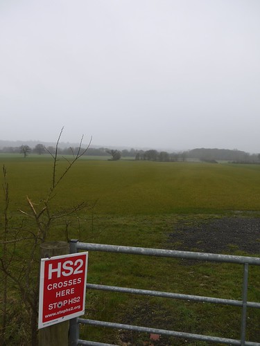
When the guide was written, it must have been a perfect view of the surrounding countryside. It made me wonder whether the building of M25 faced the same protests that HS2 is facing today, as it has kind of ruined this stretch of the North Downs Way.
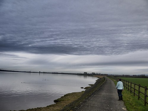
This long distance path is my companion more or less back to the start. Fine paths, great signposting and another little Geocache trail to break up the slipping and sliding in the mud.
 |
| The Surrey Hills |
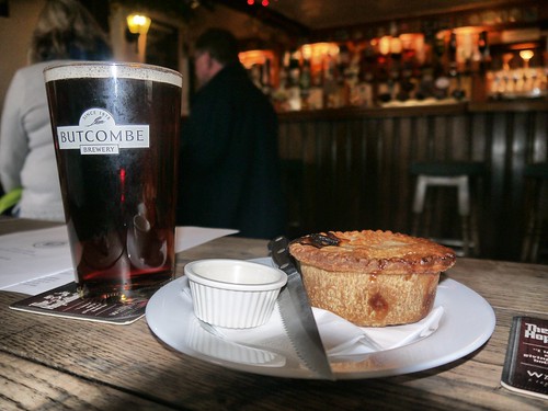
4.5 hours and 11 miles after setting off, I am back in Caterham. There is one town centre geocache to grab before hitting the pub but due to high muggle activity, I cannot immediately put it back. No choice for it, it will have to come for a pint with me.
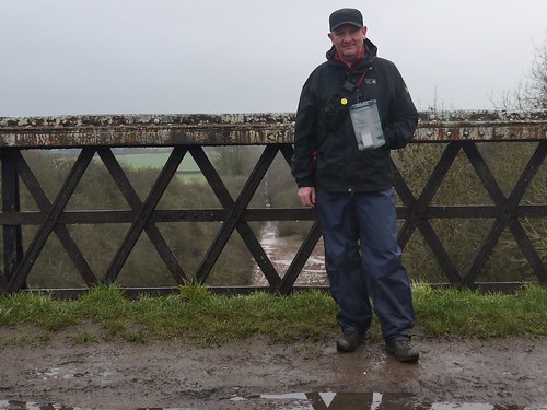
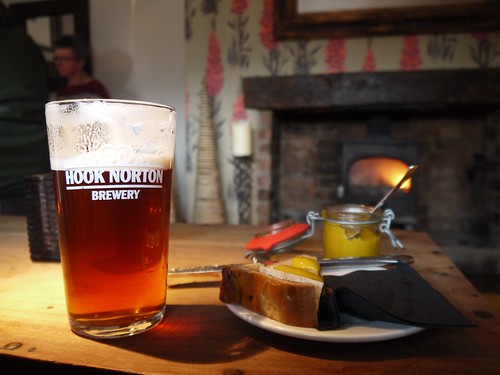
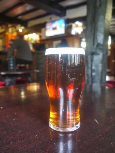
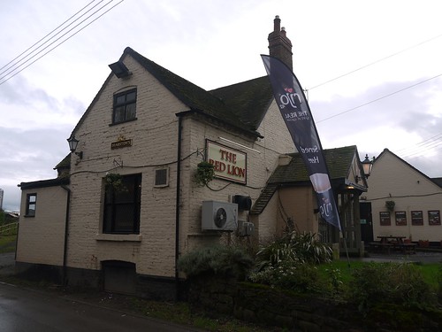
The Old Surrey Hounds was named after the local hunt. 2:45pm and its quite full. Few decent real ales on and as I am in Surrey, I select a Hogs Back Traditional English Ale by its acronym. Its fast becoming a favourite and one to look out for.
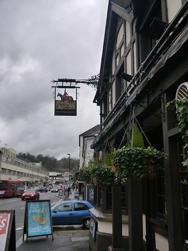 |
| Old Surrey Hounds |
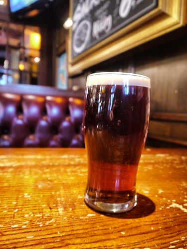 |
| TEA for One |
Reflect on the walk. Nice that all the footpaths from a guide book that is the same age as me are still in place, even if progress has added a few new features to the landscape.
All that remains is the need to replace the cache and get the 15:24 back to Victoria.